CICOES Intern Presents Tsunami Thesis in Hawaii
By Sara Dixon, 2021 CICOES Research Intern

The week after I graduated from Colorado College, I got the chance to present my senior thesis research in Maui, Hawaii! Last summer I worked with CICOES Research Scientist Dr. Yong Wei to create high-resolution probabilistic tsunami design zone maps for Maui, Hawaii. The American Society for Civil Engineers uses the maps to determine what areas need to have buildings that can withstand tsunami flooding.
For my thesis, I wanted to continue this project but also look at the impact tsunamis have on water quality in Hawaii. I found that other countries have experienced severe saltwater intrusion into coastal aquifers following the 2004 and 2011 tsunamis. One thing that places have done to mitigate this risk is to create risk assessment maps with geographic information systems software like ArcGIS. In my thesis, I used the probabilistic tsunami design zone maps in conjunction with my own risk assessment maps to determine tsunami-induced saltwater intrusion risk in Maui, Hawaii.
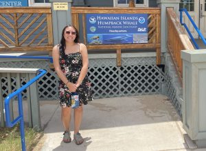
Thanks to CICOES and my research mentor, Dr. Wei, I had the ability to travel to Hawaii and meet up with members who work for the Governor’s Office in Maui. The meeting took place at the Hawaiian Islands Humpback Whale Sanctuary, which is owned by NOAA. Being able to present my research to people who are working on similar city planning and hazard mitigation problems was extremely rewarding. Many of them had not had the chance to look into using GIS software to mitigate tsunami hazards, so being able to share my work was impactful. It was also interesting to travel around the island and see all of the places that I mapped in person. Additionally, being able to talk to locals about the issues of tsunamis and learn more about their perspectives on the problem of water quality was insightful. Before this trip, traveling on Google Earth was the closest I got to these areas, so I am extremely grateful that CICOES made this experience possible for me!
